HAWAII PACIFIC DRONE SOLUTIONS · THERMAL + RGB CAPTURE
Your solar portfolio. Our local flight team.
Hawaii Pacific Drone Solutions provides aerial thermal imaging and solar panel inspection data capture for commercial clients across Hawaiʻi. From rooftop photovoltaic systems to ground-mounted solar farms, we capture thermal and high-resolution visual imagery to your project’s specifications.
Serving Oʻahu, Maui, Hawaiʻi Island, and Kauaʻi.
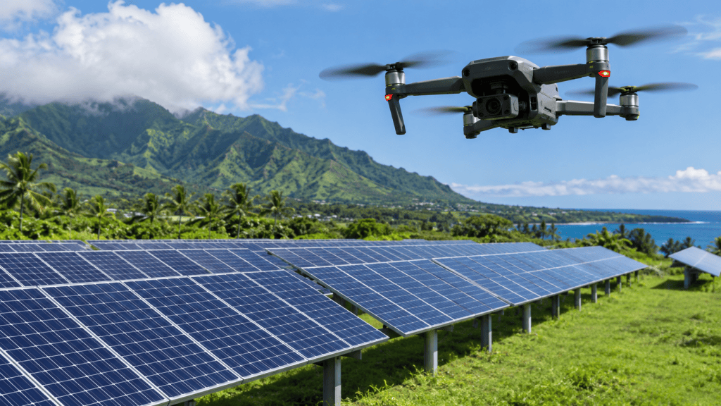
Solar inspection experience across Hawaiʻi
With experience inspecting hundreds of photovoltaic installations across the state, HPDS brings practical field knowledge to your solar inspection program. We understand that each site, client, and inspection platform has its own capture requirements.
We work with solar developers, installers, electricians, system owners, engineering firms, and construction teams. Whether you manage one commercial property or a portfolio across multiple islands, you have a Hawaiʻi-based flight partner who understands the importance of clear coordination and consistent capture.
Thermal drone inspections for rooftop solar and solar farms
Rooftop photovoltaic systems
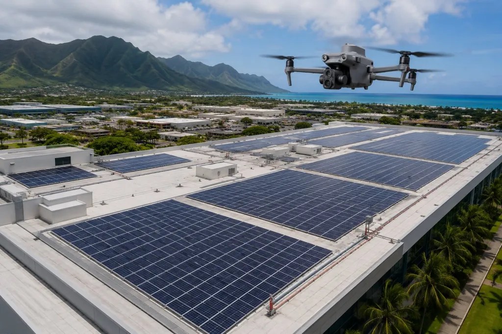
Thermal and RGB image capture for solar arrays on commercial buildings, industrial facilities, and other properties. We coordinate site access and capture requirements with your team before the flight.
Ground-mounted solar farms
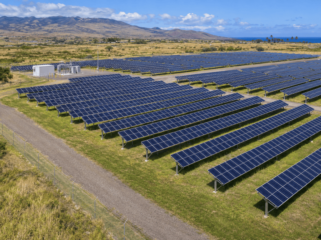
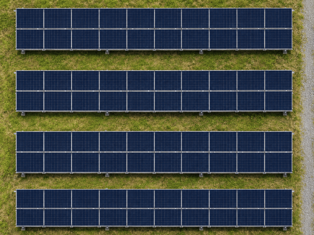
Aerial imagery for ground-mounted photovoltaic installations and solar portfolios. Share your site boundaries, required coverage, and image specifications so we can plan the capture around your project.
Thermal and RGB imagery, captured to your requirements
Your inspection requirements guide the mission. We confirm the image types, camera settings, coverage, and file delivery requirements before capture, so your team receives the agreed imagery for its existing workflow.
Thermal image capture
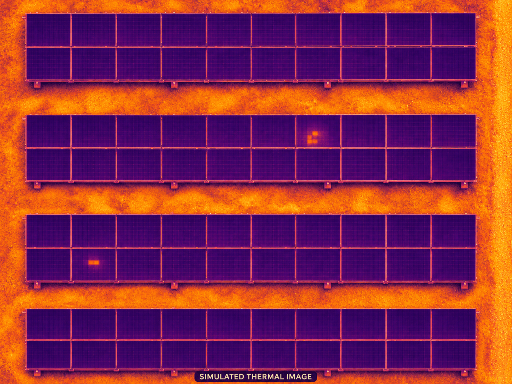
Our advanced enterprise drone equipment includes native 640 × 512 thermal imaging and radiometric image capture capability. Required formats and settings are confirmed for each assignment.
High-resolution visual imagery
RGB cameras with up to 48-megapixel image capture provide visible-light views alongside thermal imagery. Camera selection and capture settings are matched to the client’s brief.
Equipment capabilities vary by camera and capture mode. We select the configuration appropriate to the agreed scope.
A local capture partner for your Hawaiʻi projects
For Hawaiʻi-based solar and commercial teams, HPDS offers a local point of contact for aerial inspection work. For mainland companies managing assets here, we provide on-island coordination and capture across our service area.
Bring us your capture brief, site list, and preferred timing. We can discuss individual assignments, recurring inspections, and multi-site portfolios.
Aerial thermal imaging beyond solar
Need thermal imagery of infrastructure, mechanical equipment, or other commercial assets? Call us with the asset location, access details, and capture requirements. We will review the mission with you and propose an appropriate aerial capture scope.
How your inspection capture works
1. Share the mission
Send the site location, asset type, approximate size, requested timing, and your thermal and RGB capture specifications.
2. Coordinate the flight
We confirm the scope, site access, operating conditions, and any airspace coordination needed before agreeing on the flight plan.
3. Capture and deliver
HPDS captures the agreed imagery and delivers the files using the method established with your team.
Serving solar and commercial clients across Hawaiʻi
HPDS schedules aerial thermal imaging and photovoltaic inspection capture on Oʻahu, Maui, Hawaiʻi Island, and Kauaʻi. Multi-island assignments are coordinated around site access, travel, weather, and airspace requirements.
Service is not currently available on Molokaʻi or Lānaʻi.
Explore our other commercial drone services or learn more about HPDS.
Thermal drone inspection questions
Do you inspect rooftop solar panels and ground-mounted solar farms?
Yes. HPDS provides thermal and RGB image capture for rooftop photovoltaic systems and ground-mounted solar installations. We confirm the site coverage and capture specifications with you before the assignment.
What does HPDS deliver for a solar inspection?
We deliver the thermal and RGB image files agreed in your project scope. Image formats, settings, coverage, and the delivery method are confirmed with your team before capture.
Can you follow our inspection platform’s image requirements?
Share your platform’s capture specifications with us. We review the required formats, settings, and coverage before confirming the scope and selecting the appropriate equipment.
Which Hawaiian islands do you serve?
We currently serve Oʻahu, Maui, Hawaiʻi Island, and Kauaʻi. Service is not currently available on Molokaʻi or Lānaʻi.
Do you work with mainland companies managing Hawaiʻi solar assets?
Yes. HPDS works with Hawaiʻi-based businesses and mainland companies that need local aerial capture support for assets in our service area.
Can you capture thermal imagery for assets other than solar panels?
Yes. Contact HPDS about infrastructure, mechanical equipment, and other commercial assets requiring aerial thermal imagery. We review the location, access, and capture requirements with you.
How much does a thermal drone inspection cost?
Pricing depends on the location, site size, number of sites, capture requirements, travel, and operational coordination. Send your site details and capture brief for a project-specific quote.
Let’s plan your next thermal inspection
From one rooftop to an island-spanning solar portfolio, start with a conversation. Tell us where the assets are and what imagery your team needs. We’ll help define the aerial capture scope and next steps.

