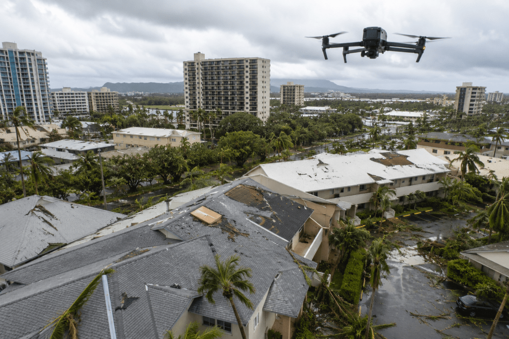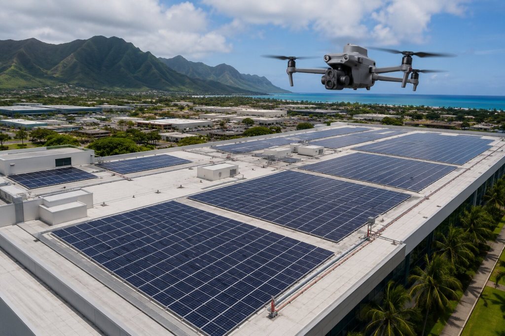
Commercial property due diligence in Hawaii often involves more than reviewing documents from a desk. Decision-makers may need a current, consistent view of roofs, pavement, drainage, exterior conditions, site access and surrounding improvements across one property or an entire portfolio. Professional drone mapping can make that visual review faster, more organized and easier to share with the people responsible for the next decision.
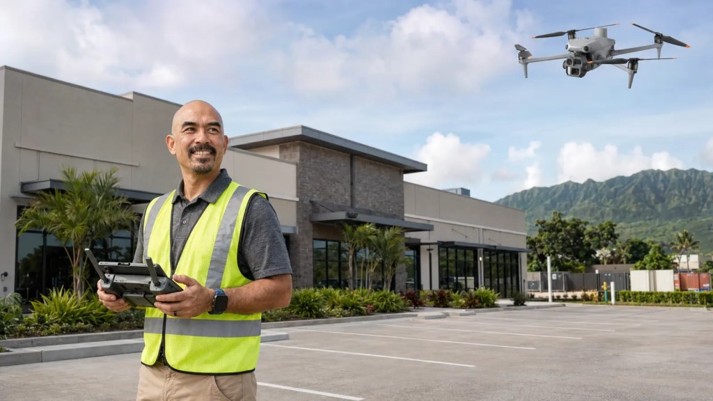
Hawaii Pacific Drone Solutions (HPDS) is a Honolulu-based commercial drone service provider supporting property owners, acquisition teams, facility managers, engineers and consultants throughout the Hawaiian Islands. Our role is not simply to capture attractive aerial photographs. We build an organized visual record that helps a project team understand a property, communicate observations and determine where closer professional evaluation may be needed.
What drone due diligence adds to a property review
Traditional site photographs are valuable, but they can vary widely depending on who took them, where they stood and what they considered important. Drone documentation adds a repeatable aerial perspective and helps reduce visual gaps between locations.
- Broad site context: Aerial imagery shows how buildings, parking areas, access points and neighboring features relate to one another.
- Consistent documentation: A defined capture plan allows multiple properties to be reviewed using the same general visual standard.
- Hard-to-see areas: Roofs, elevated exterior features and large paved areas can be documented without placing personnel in unnecessary positions.
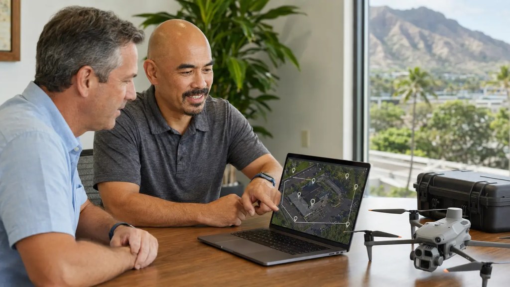
- Shareable information: Browser-based maps, panoramas and organized photographs allow stakeholders in different locations to review the same information.
- A current visual baseline: Time-stamped imagery creates a useful record of visible conditions on the date of capture.
A recent multi-island commercial property project
In a recent confidential engagement, HPDS coordinated aerial documentation for eight commercial locations across Hawaiʻi Island, Maui and Kauaʻi. Each property required consistent data collection, careful scheduling and an organized delivery process that would allow the client team to compare locations without sorting through an unstructured folder of unrelated photographs.
HPDS developed a repeatable capture approach for the portfolio, coordinated access and inter-island logistics, completed the fieldwork on a compressed schedule and uploaded the data as each island was completed. The client received both the processed visual experience and the underlying imagery, allowing technical and nontechnical team members to use the format that worked best for them.
Project details have been generalized to protect client confidentiality.
What decision-makers can receive
The right deliverable package depends on the property, the decision being made and the level of detail required. A commercial property drone documentation project may include:
- Orthomosaic mapping: A high-resolution, top-down composite view that provides more usable site context than a single aerial photograph.
- Oblique imagery: Angled photographs showing building exteriors, rooflines, site features and surrounding conditions.
- Nadir imagery: Straight-down photographs that support mapping and clear overhead review.
- 360-degree panoramas: Interactive viewpoints that allow team members to look around a location from a browser.
- Measurements and annotations: Useful visual references for early discussion and planning when appropriately scoped.
- Organized source imagery: Clearly structured files for recordkeeping, internal review or approved downstream use.
- Shareable online access: A practical way for project stakeholders to review the information without specialized drone software.
Why local coordination matters in Hawaii
Multi-island work introduces operational realities that do not appear in a simple photography checklist. Airline schedules, rental vehicles, weather, airspace, property access, site activity and equipment redundancy all affect execution. A delayed or incomplete location can disrupt the review of an entire portfolio.
Local relationships also matter. Property representatives need clear expectations about when a pilot will arrive, where the operation will occur and how the work will avoid interfering with tenants, employees and customers. HPDS approaches these projects as an operational partner, with safety, communication and consistency built into the plan from the beginning.
What drone documentation cannot replace
Drone imagery is a powerful documentation tool, but it should not be presented as something it is not. Unless specifically contracted and supported by the appropriate professionals and methods, aerial documentation does not replace a licensed land survey, engineering evaluation, environmental assessment, property appraisal, code inspection or legal opinion.
Measurements taken from processed imagery may support planning and discussion, but they should not automatically be treated as survey-grade or construction-grade measurements. HPDS defines these boundaries early so the client receives useful information without overstating what the data can establish.
Who benefits from this approach?
- Commercial property owners and asset managers
- Acquisition and due diligence teams
- Facility and maintenance managers
- Engineering and environmental consultants
- Construction and renovation teams
- Insurance and risk-management professionals
- Organizations evaluating multiple locations across Hawaii
Choosing a Hawaii commercial drone provider
Before hiring a provider, ask how the operation will be coordinated, what data will actually be delivered, how multiple sites will be captured consistently and how your team will access the results. Confirm that the provider carries appropriate aviation insurance, operates under FAA Part 107 requirements and can explain the limitations of the deliverables in plain language.
The goal is not to collect the largest possible number of images. The goal is to deliver the right information in a format that helps your team move forward with greater clarity.
Planning a commercial property review in Hawaii?
Whether you are evaluating one location on Oʻahu or coordinating a portfolio across Hawaiʻi Island, Maui, Kauaʻi and Oʻahu, HPDS can help you scope a practical aerial documentation plan around the decisions your team needs to make.