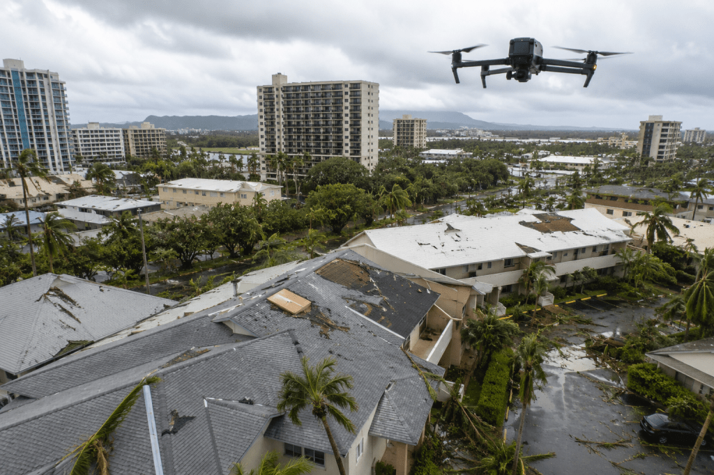
Tropical Storm Lala left communities across Hawaiʻi dealing with flooding, damaged roofs, fallen trees, power outages, blocked roads, and other property and infrastructure damage.
Now that the storm has moved away, property owners and managers face another important question:
How do you safely figure out what was damaged, where attention is needed, and what should happen next?
For commercial properties, condominiums, apartments, hotels, industrial facilities, and larger sites, drones can provide a practical way to begin that process.
The purpose is not to replace an engineer, contractor, insurance adjuster, or other qualified professional. It is to give those professionals and property teams clear visual information, quickly and safely, without immediately putting people into difficult or potentially hazardous locations.
Start With Safety Before Sending Someone Onto a Roof
After a major storm, getting a closer look at a building can create its own risks.
Someone may need to climb a ladder, walk across a wet or damaged roof, operate a lift, erect scaffolding, or use specialized rope-access equipment to reach the exterior of a taller building.
Sometimes those methods are necessary.
But they do not always need to be the first step.
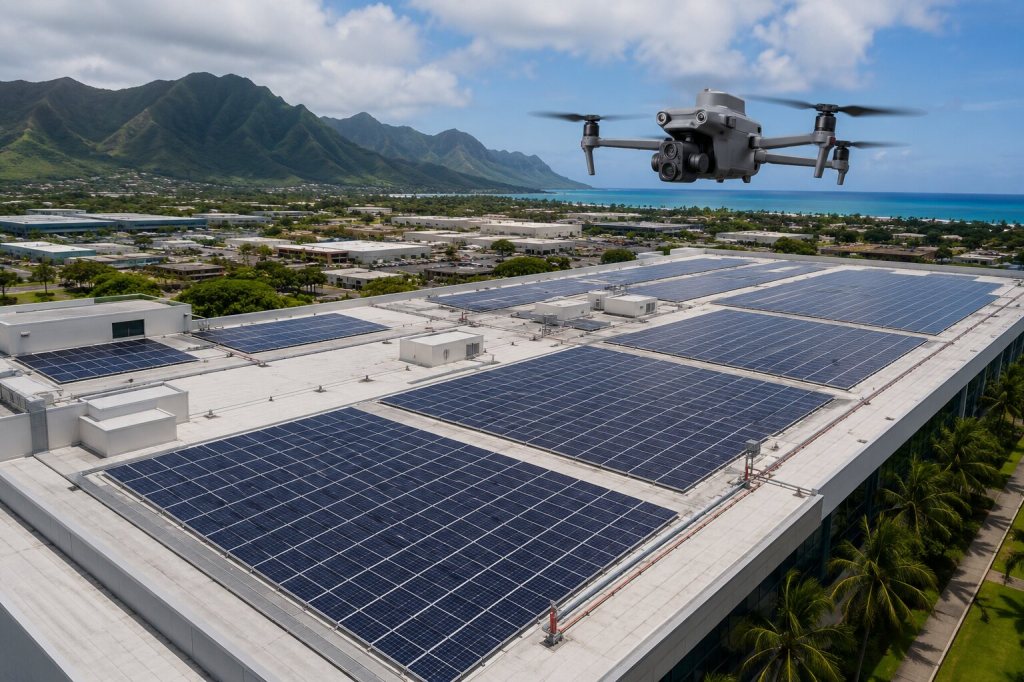
A drone can document roofs, parapets, exterior walls, windows, gutters, drainage areas, rooftop equipment, and other difficult-to-reach locations while the inspection team remains safely on the ground.
That initial aerial view can help a property manager or contractor understand where closer attention may be needed before deciding how people should physically access the area.
Roof Damage Is Often Difficult to See From the Ground
Storm damage is not always obvious from a parking lot or sidewalk.
Loose roofing material, displaced flashing, damaged gutters, debris accumulation, standing water, punctures, or damage around rooftop equipment may be hidden from normal ground-level viewpoints.
Aerial imagery allows a roof to be viewed from both straight above and from different angles.
For larger buildings, this can create a much more complete visual record than a few phone photographs taken from whatever areas happen to be accessible.
The images can then be organized and shared with property owners, facility managers, contractors, consultants, and other stakeholders without requiring every person involved to climb onto the roof.
High-Rise Buildings Bring a Different Inspection Challenge
Storm damage is not limited to roofs.
Exterior panels, windows, signs, trim, balconies, façade components, rooftop structures, and other elevated building elements may also need to be checked after periods of high wind.
During Lala, falling debris in Waikīkī resulted in the closure of part of Kalākaua Avenue while Honolulu police and fire personnel responded to the hazard.
That incident highlights a simple reality for owners and managers of taller buildings: sometimes the area that needs to be inspected is exactly the area that is hardest to reach safely.
Traditionally, checking the exterior of a high-rise may require lifts, scaffolding, or trained personnel working from ropes along the building.
Those methods remain important when hands-on inspection, testing, or repair is necessary.
For an initial visual assessment, however, a drone can often help teams examine elevated areas and identify locations that deserve a closer professional inspection before people are placed at height.
Better Images Can Make Insurance Documentation Easier
After storm damage, documentation matters.
FEMA recommends photographing and recording damage before damaged materials are discarded or repaired when conditions allow it to be done safely.
For a commercial building or larger property, aerial photography can expand that visual record by reaching exterior areas that may be difficult or unsafe to document from the ground.
Depending on the property, a post-storm aerial inspection may document:
- Roof conditions and visible storm impacts
- Exterior walls and façades
- Windows and upper-level building areas
- Gutters, drains, and rooftop drainage systems
- Debris accumulation
- Standing water and visible flooding
- Parking areas and access roads
- Retaining walls and surrounding property conditions
- Exterior equipment and structures
- Overall site conditions following the storm
The value is not simply having more photographs.
It is having clear, organized photographs that show both the detail and where that detail is located on the property.
Those records can support conversations with insurance representatives, contractors, consultants, ownership groups, and other professionals involved in evaluating or repairing the property.
Drone imagery does not determine insurance coverage, establish the cause of damage, or replace an adjuster or licensed professional. It provides visual evidence that can support their work.
See the Detail Without Losing the Big Picture
One of the most useful advantages of an aerial inspection is context.
A close-up image might clearly show a damaged section of roofing, but someone reviewing that image later may not know exactly where it is located.
A wider aerial photograph can show where that same area sits in relation to the rest of the roof or building.
For condominiums, hotels, apartment complexes, commercial properties, campuses, and multi-building sites, that context can be especially valuable.
A drone can document the overall property and then capture closer views of specific areas of concern during the same inspection.
Instead of sending someone hundreds of unorganized photographs, the goal should be to provide information in a format that is easy for the people making decisions to understand and use.
Depending on the project, that may include organized high-resolution photographs, video, mapped imagery, or other visual documentation.
Drones Can Help Document Flooding and Site Conditions Too
Lala was also a major rain and flooding event, particularly on Hawaiʻi Island, where severe flooding damaged homes, roads, bridges, and other infrastructure.
For storm-affected properties, the inspection therefore may extend well beyond the building itself.
Aerial documentation can help show visible conditions such as:
- Ponding and standing water
- Debris accumulation
- Drainage pathways
- Erosion
- Blocked access areas
- Damaged landscaping
- Retaining areas
- Road and parking conditions
- Larger patterns of damage across a site
For commercial properties, construction sites, infrastructure, and government facilities, an overhead view can make the overall situation much easier to understand than ground photography alone.
It can also create a useful baseline before cleanup and repair work begins.
Before Repairs and After Repairs
There is another benefit to documenting storm damage early.
The first aerial inspection can establish a visual record of conditions before repairs begin.
If needed, the property can then be documented again after emergency work or permanent repairs are completed.
Keeping those viewpoints reasonably consistent makes it easier for owners, managers, contractors, and other stakeholders to compare what changed.
That can be particularly useful when multiple areas of a large building or property are being repaired at the same time.
Fast Does Not Mean Flying Before It Is Safe
Post-storm drone work still requires good judgment.
Emergency helicopters, utility aircraft, first responders, and recovery operations may be active after a major storm. Airspace restrictions may also be established around disaster areas.
The FAA specifically recognizes drone operations for damage assessments, disaster recovery, critical infrastructure restoration, and insurance-related work, but those operations must still comply with applicable airspace and operating requirements.
In some situations, the correct decision is to wait.
Before any flight, the operator should consider current weather, airspace, emergency activity, people on the ground, obstacles, property access, and whether the aircraft can be operated safely.
The goal is not simply to get a drone into the air as quickly as possible.
The goal is to obtain useful information without creating another safety problem.
Making One Part of Storm Recovery Easier
After a storm, property teams already have enough to deal with.
They may be coordinating tenants or guests, contractors, cleanup crews, insurance representatives, utilities, ownership groups, emergency repairs, and normal building operations at the same time.
Inspecting the property should not add unnecessary difficulty.
For some properties, a straightforward aerial photo inspection may provide everything the team needs.
For others, a more detailed roof or façade inspection, mapped site survey, high-resolution building documentation, or repeat inspection after repairs may be appropriate.
The right solution depends on the property, the areas of concern, and what decisions need to be made from the information.
The technology should make that process simpler, safer, and easier to manage, not more complicated.
Need to Inspect or Document Storm Damage in Hawaiʻi?
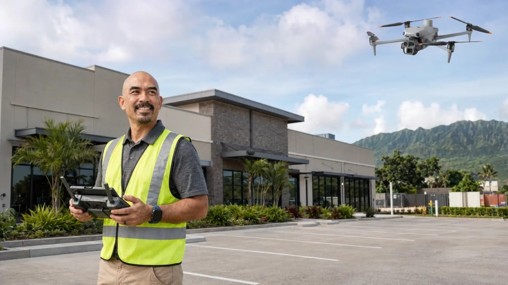
Hawaii Pacific Drone Solutions provides professional aerial inspection and documentation services for commercial properties, buildings, infrastructure, construction sites, and other facilities across Hawaiʻi.
If your property was affected by Tropical Storm Lala, or you need a safer way to examine a roof, building exterior, or larger site after severe weather, HPDS can help determine whether aerial documentation makes sense for the situation.
Our approach is straightforward: understand what needs to be inspected, determine how the site can be documented safely, capture the necessary imagery, and provide your team with organized deliverables that are easy to review and share.